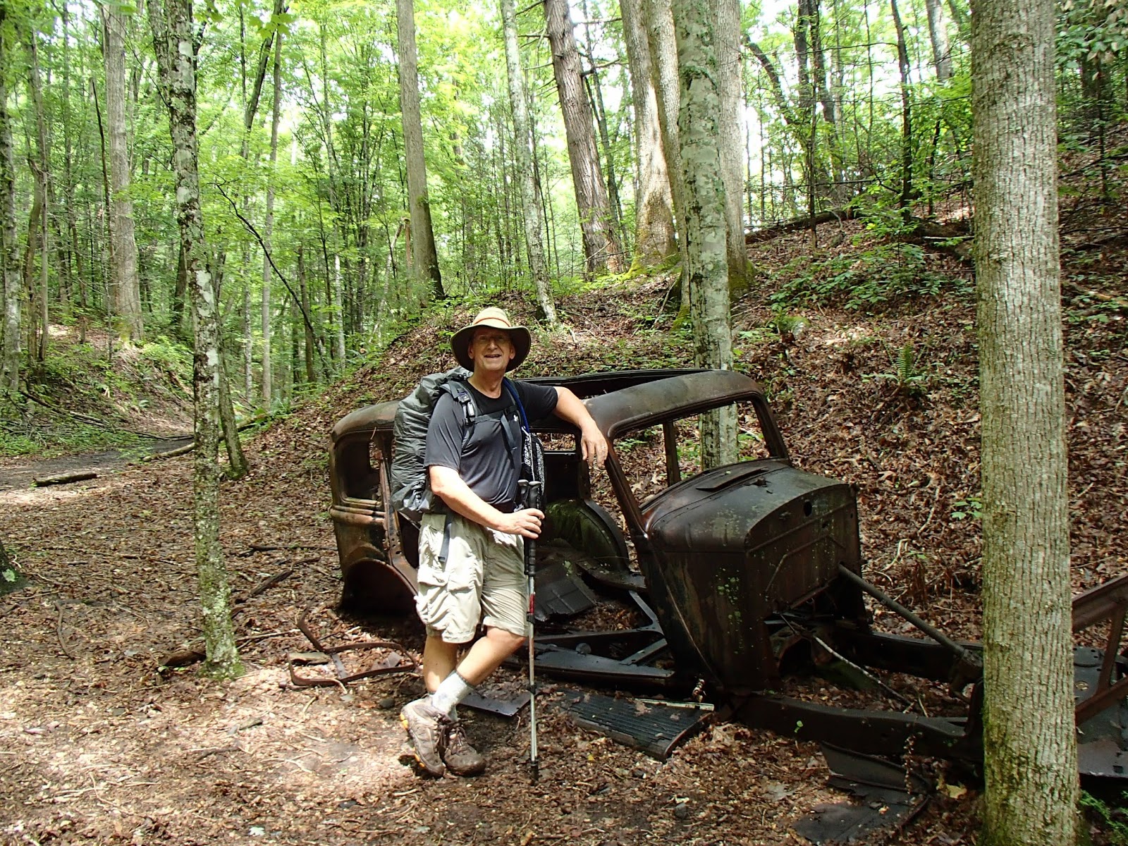
 |
| Several old cars can still be found on the Lakeshore Trail on the North Shore of Fontana Lake. Why were they left behind? Read on to find out. |

The 3.7 mile to the Lost Cove trail took us steeply up Shuckstack Mountain and the old fire lookout tower on the summit. The tower was built in 1934, rising 60 feet to give a 360 degree view of the Smokies and Nantahala National Forest, as well as Fontana Dam and Lake. It rained off and on on the way up to the tower, but it did clear some for cloudy views of the surrounding mountains from the tower. Fontana Lake and the dam are visible in this picture.

A little past the side trail to the tower, the Lost Cove Trail turns off the AT on the right. This short trail (2.7 miles) follows Lost Cove Creek and features several stream crossings. The upper end of the trail is steep, and with today's rain, we slipped and slid down the muddy trail. The first stream crossings were rock-hops, but on the lower part of the trail we waded across the last five crossings.


Lost Cove Trail ends at the Lakeshore Trail, a 35 mile trail that follows the North Shore of Fontana Lake. Parts of the Lakeshore Trail follow old NC Highway 288 which followed the Little Tennessee River between Bryson City and Deals Gap. Today much of this road lies at the bottom of Fontana Lake. Prior to 1944 and the construction of the dam, many people lived on what is today called the North Shore. Several towns and homesteads dotted the landscape.
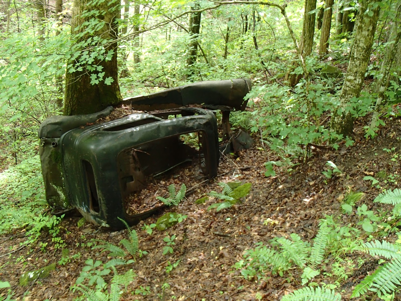
Although the trail sign (above right) is hard to read, we hiked 5.2 miles of the Lakeshore Trail to the parking area near the dam. It is along this section you will see several abandoned vehicles left behind by people who moved, or were removed, from the area because of the dam and lake.

We had some views of the lake through the trees as we hiked along, and the morning rain gave way to afternoon sunshine.
So now to answer the question posed in the caption of the picture at the beginning of this post. Why did the people leave so many cars behind when they left the area in the 1940s? One would think these cars had value and would be useful in resettled areas. These were wartime years, and rationing during World War II included tires. Rubber was needed for the war effort. So cars in otherwise good running condition may not have had tires to drive them away. By the time tires would have been available after the war, the lake had cut off road access and the people had moved away. So, here they sit along the Lakeshore Trail, a reminder of the past.
Tale of the tape: 12.5 miles; all "new" trail miles with 3,000 feet elevation gain.
Total miles of trails in the Smokies to date: 202.8 (1/4 the way!!)
No comments:
Post a Comment